Aiea Loop Trail
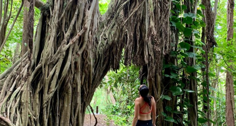
Beautiful views of lush mountains and the H3 start off the hike. Picturesque scenes from Lord of the Rings set the tone for this moderate loop hike.
Disclosure: This post may contain affiliate links, meaning if you decide to make a purchase through my links I may earn a commission at no additional cost to you. See my disclosure for more info.
In this blog post, I've included full details of the AIEA LOOP TRAIL plus a video that I made showing you footage from the hike & what to expect. This loop trail was so much fun! The scenery at parts of the trail was like something out of Lord of the Rings.
Our Experience:
Watch YouTube video
Check out this YouTube video on our full trip
What to Expect
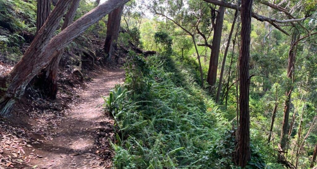
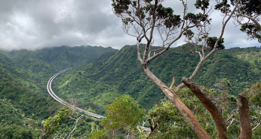
Beautiful & fun nature walk with incline near the end. There's plenty of picturesque spots for photos! My personal favorite was looking out to the H3 (highway) with all the lush greenery in the background.
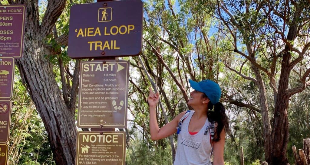
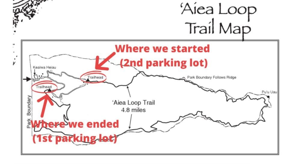
When you arrive, you'll see a parking lot. We kept going to the 2nd parking lot which is where we found the trailhead that says “AIEA LOOP TRAIL” (see photo). I had read some comments on the AllTrails app that mentioned people doing the hike with their children & with their 70 year old grandmother.
I almost debated bringing snacks. I'm glad that I did. The trail is considered a “moderate” hike. I realized quickly that the reason is because it is a longer hike (in terms of distance).
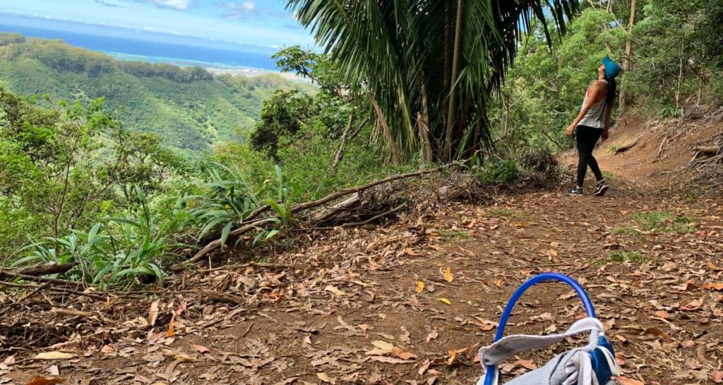
From there, the trail is completely flat. There's even BENCHES to sit down! The incline didn't begin until we were near the middle of the trailhead but compared to the ridge hikes it was easy.
Where the trail ends, you'll be at Campground 4. From there, we walked another 0.4 miles from the END of the trailhead to get to the START of the trailhead where we parked the car. Check out the video for exactly what that looks like.
- *Note: I used the AllTrails app which linked to Google Maps. Check out the video for what the beginning of the trail head looks like.
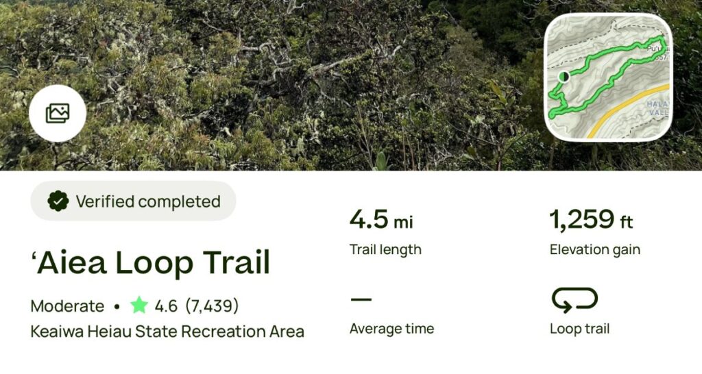
- Distance of Hike: 6.6 Miles total (XX km)
*Note: The app AllTrails as well as the signage from the hike both lists this as 4.8 Miles (7.7 km)
*However, I used the “Record” feature from AllTrails PRO (see photo above) to see how long the hike will be. Turns out, it's 6.6 miles. - Distance from WAIKIKI: 14 miles (22.5 km), about a 25-30 minute drive
- Parking: Easy! There is a parking lot within the area.
- Pet friendly?: Yes. Dogs are allowed on this trail but must be leashed.
- Restrooms?: Yes…but as of the time of this writing (June 5, 2020), the lower bathroom facilities (at the 1st parking lot) are OPEN & the upper bathroom facilities (at the 2nd parking lot) are CLOSED.
What to Pack
- For the most up-to-date parking info & trail closures, check the Hawaii.gov website direct.
This hike is ‘Aiea Loop Trail. - Link: https://dlnr.hawaii.gov/dsp/hiking/oahu/aiea-loop-trail/
► More Hiking Articles
► More Hikes
- Hawaii Loa Ridge Hike: Challenging Out and Back Trail
- Pu'u Manamana: The most DANGEROUS hike
- Koko Head Crater: The Stairmaster
- Top 5 Difficult Hikes | OAHU
- Diamond Head Crater: the most POPULAR hike
- Makapuu Lighthouse Trail: A paved hike
- Makiki Valley Loop Trail: Easy mostly flat trail
- Aiea Loop Trail: longer shaded trail
- Hike Manoa Falls: Waterfall Hike


